Announcing the WPdx Monitoring, Evaluation, Adapting and Learning (MEAL) Guide
The WPdx Data Standard was created in 2015 by an expert working group and defines a set of basic parameters that should be collected when
Beta version 1.0 released March 2022
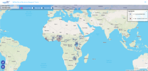
This tool provides an overview of the age of available water point data on both point and administrative division scales.
For each point, we calculate a quality score which takes into account the age of the water point records and the percent of the rural population which can be accounted for by the provided water point data.
The main parameter that controls this score is the ‘target value’ – for example, in the current state we define that a 20-year-old report is worth only 10% in comparison to a ‘day-old’ report. All other reports are then given values based on their report age using a geometric decay model.
These value assignments are qualitative and are only meant to give a rough estimate of data ‘freshness’.
This analysis is based on the latest available data from the WPdx+ dataset, population estimates from the Facebook High Resolution Population Datasets and administrative boundaries from GADM or HDX (Eswatini, Ghana and Uganda).
WPdx is an open-source repository for data and contributors include governments, NGOs, academic researchers, and others. WPdx has not directly collected this data or verified the accuracy of the data on the platform. WPdx does perform basic validation checks to ensure that required parameters are included and that GPS locations match with the country boundaries of the provided datasets. Additional cleaning and categorizing steps are taken to prepare the dataset for analysis. Full details of these processes can be found on our website. Questions and feedback are more than welcome.

The WPdx Data Standard was created in 2015 by an expert working group and defines a set of basic parameters that should be collected when

We are excited to share two new resources exploring applications of the WPdx Decision Support Tools app: A detailed written tutorial with pictures describing how

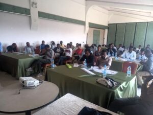
Photo caption: WPdx training delivered by MWA to government stakeholder and Sustainable WASH Program implementation partners in March 2023. Photo credit: Selamawit Tiruneh Over the