
With contributions from Herbert Kashililah, Chair, Tanzania Water and Sanitation Network (TAWASANET)
The United States Agency for International Development (USAID) Governance Research on Water Systems, or GROWS, is a research activity that focuses on rural water services as a lens through which to explore the interconnections between good governance and private sector engagement because of the critical role that water plays in community health and economic development.
A key finding from GROWS was that the effective sharing of data at the community scale had the potential to improve the governance of local drinking water systems, due to greater levels of transparency, accountability and increased the trust between water users and providers. An extension of this finding is that sharing data from individual community water systems can strengthen district and/or regional governance by providing a comprehensive understanding of what is and is not working at different geographic scales.
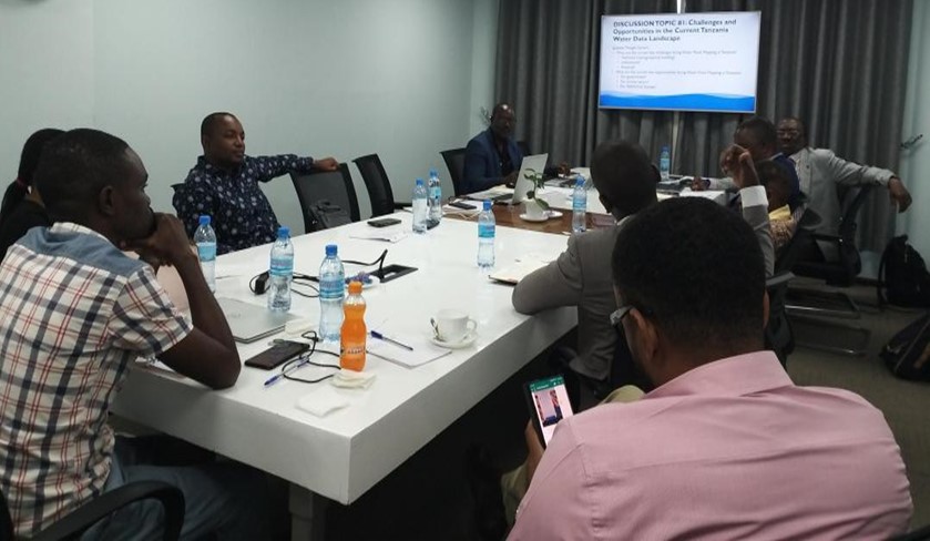
In February 2022, GROWS hosted a governance and water data workshop in Tanzania including participants from government, NGOs and development banks to explore current challenges and opportunities related to collecting, sharing, and using data at scale to improve rural water decision-making. The workshop included an active discussion focused on current data collection and analysis approaches as well as an introduction to the Water Point Data Exchange (WPdx) as a free and open platform which can enable data sharing, access and use.
Background
Water point mapping (WPM) to monitor the status of community water supplies has been part of the Tanzanian water management approach since 2004. Initiated by WaterAid and adopted by other key NGOs in the Tanzanian water sector (SNV, Plan International and Concern Worldwide), a widescale water point mapping exercise was held between 2005 and 2009 and resulted in the mapping of 55 of 132 rural water districts. Subsequently in 2010, the Government of Tanzania adopted WPM as its main tool for monitoring rural water supply and developed an online database, the Water Point Mapping System (WPMS). Between 2011 and 2013, the Ministry of Water mapped all districts in Tanzania mainland and data was uploaded to the WPMS. Since 2013, data has been updated on a district-by-district basis by government water managers.
Following the establishment of the Rural Water Supply and Sanitation Agency (RUWASA) in 2019, a new management information system has been created, the Rural Service Delivery Management Information System (RSDMS), which aims to support performance monitoring for both operation and governance needs of rural water investments. RSDMS is used to monitor and regulate construction and service provision for rural water and sanitation at district, regional and national levels.
Workshop Outcomes
Participants stated that accurate and up-to-date data on water point location, functionality, water quality, water tariffs, number of water users and presence of an active community-based water supply organizations (CBWSOs) were needed to allow for monitoring water point functionality.
Participants identified the following key challenges for implementing effective WPM: 1) collecting information from remote water points; 2) ensuring information is up to date; 3) handling issues with accurately coding unique water points; 4) handling challenges around data quality related to paper-based collection; and 5) holding data providers accountable.
Potential approaches to help overcome some of the identified WPM challenges included: 1) building technical capacity of CBWSOs; 2) engaging water users to provide information on water point functionality; 3) investing in hard-to-reach areas; and 4) advancing technological innovation to update the data collection systems.
Workshop participants were keen to learn more about WPdx and how the platform could be useful in compiling data to create a more up-to-date understanding of the rural water landscape and provide evidence-based insights to inform the decision-making process.